| Mike Hyde's Special Projects |
|---|
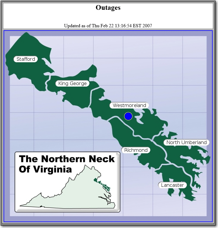
So, back when I started at the Coop in 2004, I was wanting to put an outage map on our website. Considering we had outate data stored in a database in our outage system, that should not be a big deal, right? So I went to our current outage system vendor at the time, and told them what I wanted. I was pleased to hear they were actually working on something. They showed me a demo, and the biggest thing I saw it was lacking was the ability to show outages by county. I was told this was not really doable since county was not stored in the outage system. Anyone who knows me knows I do not accept that kind of answer. So, off I went investigating. I knew we were showing outages on our map viewer, developed by Partner Software. That map viewer had county information. So I took a trip to Athens Ga. In between the good times at all the local places down there, we created a way to utilize the integration between the Partner Map Viewer and our outage system, to count the outages by county, and display them on a web page. Since most of our memebers were, and probably still are on dial-up, the page had to be quick to load and not require much bandwidth to display. What we came up with utilized small jpg images of the counties, and overlaid colored dots (png Images) to signify the numbner of members out. This was very simple, worked great and we utilized this until around 2012 when we switched OMS vendors. One added plus, it it even worked on smartphones, like the Blackberry I had at the time.
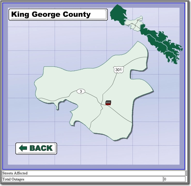
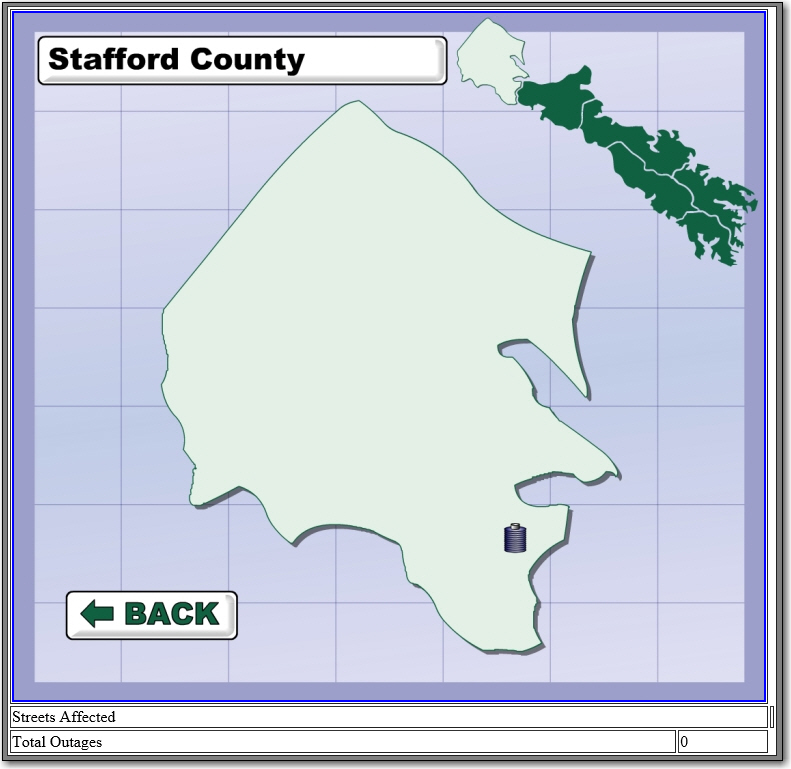
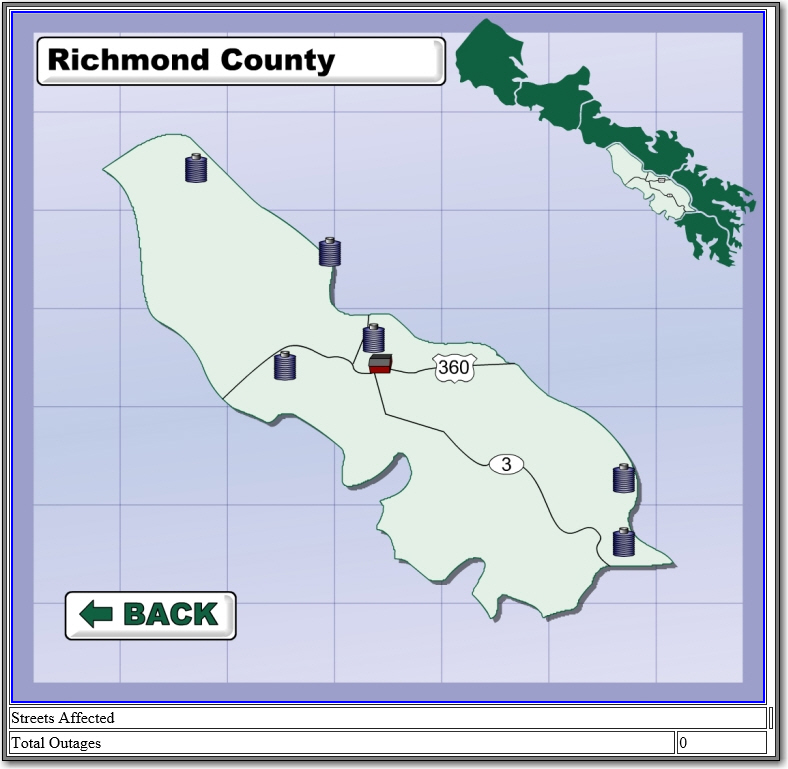
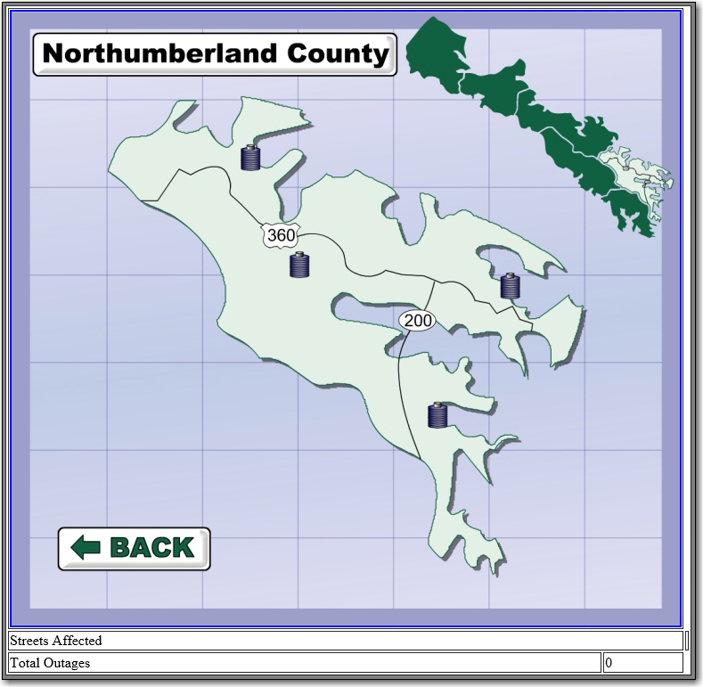
Here is what we came up with:
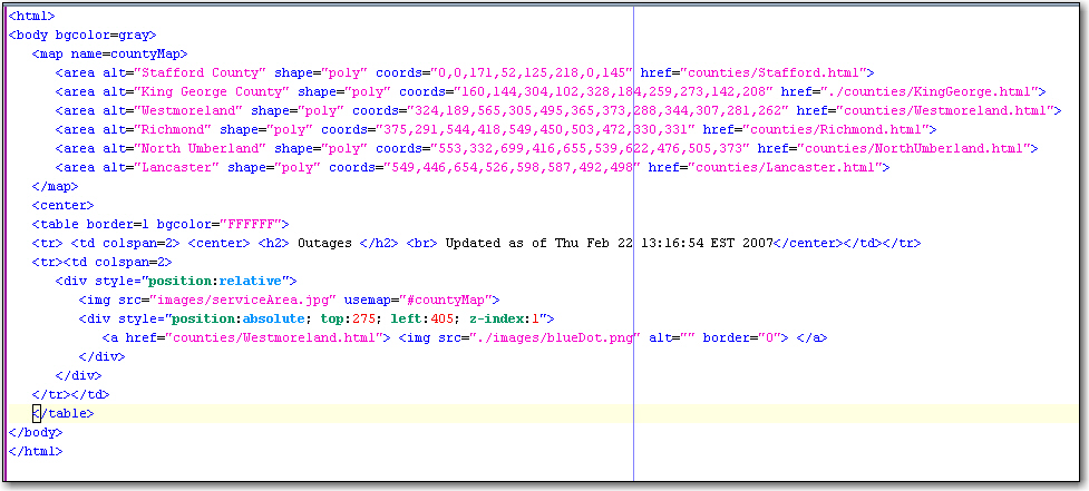
The program created code, which was really simple. Here is the index.html file that the program created every minute.
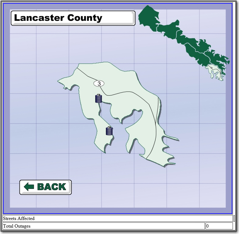
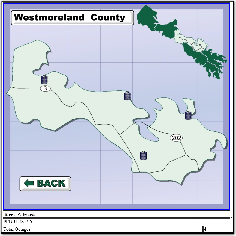
When you click on a county, it would show the JPG for just that county, and list the streets affected.