| Mike Hyde's Special Projects |
|---|
My first attempts can be found here.
 -->
-->
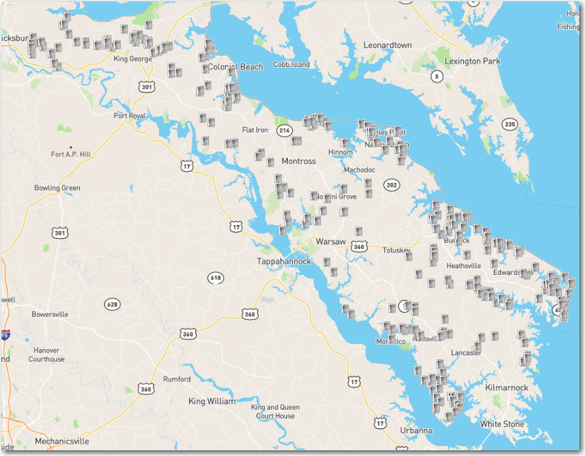
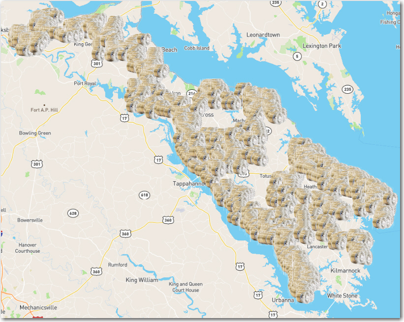
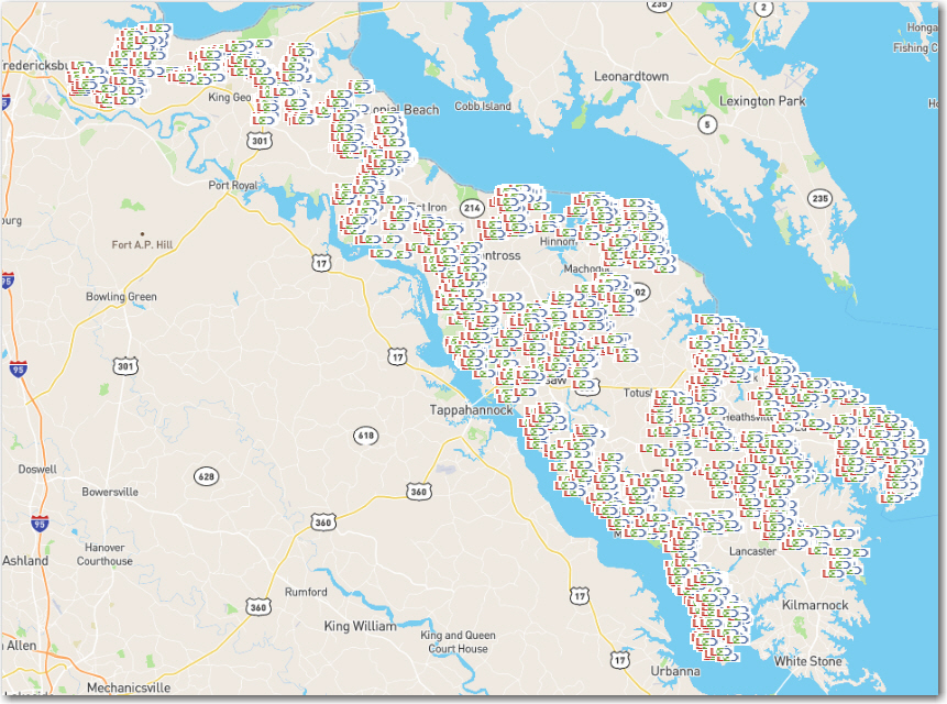
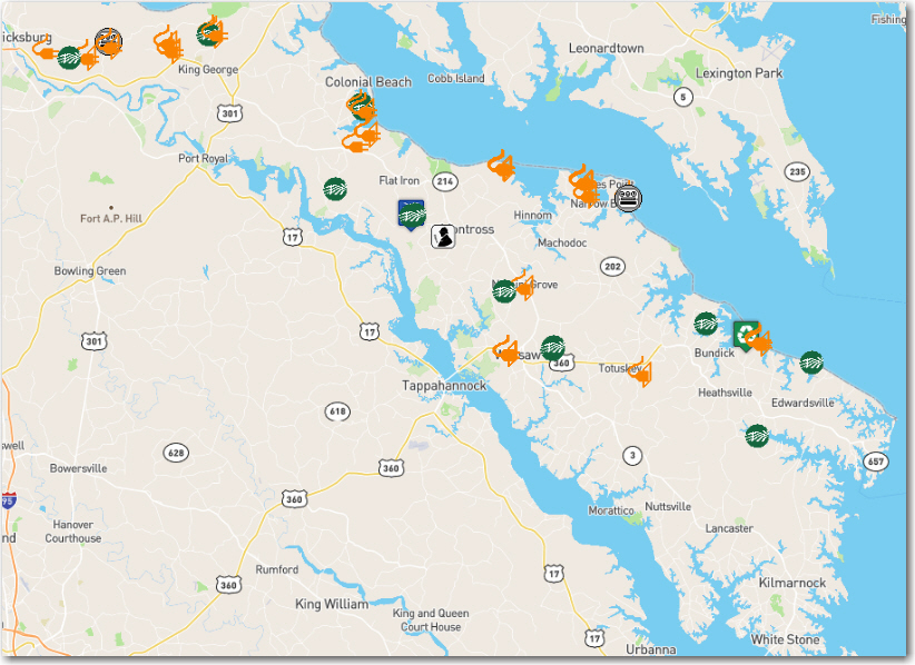
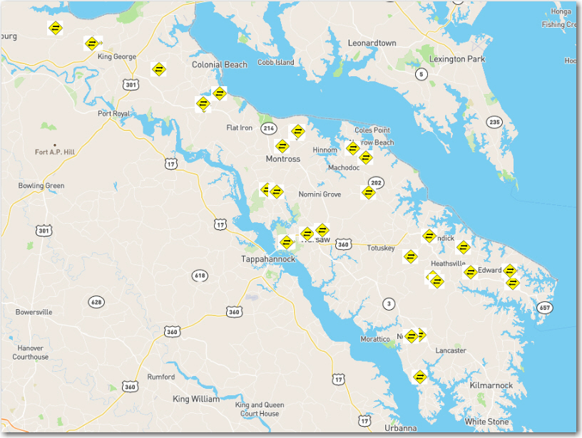
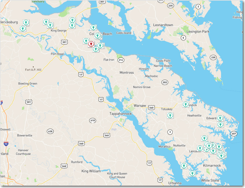
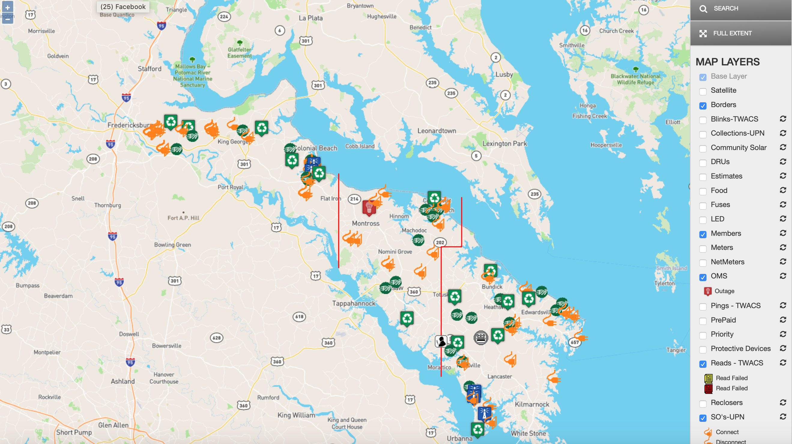
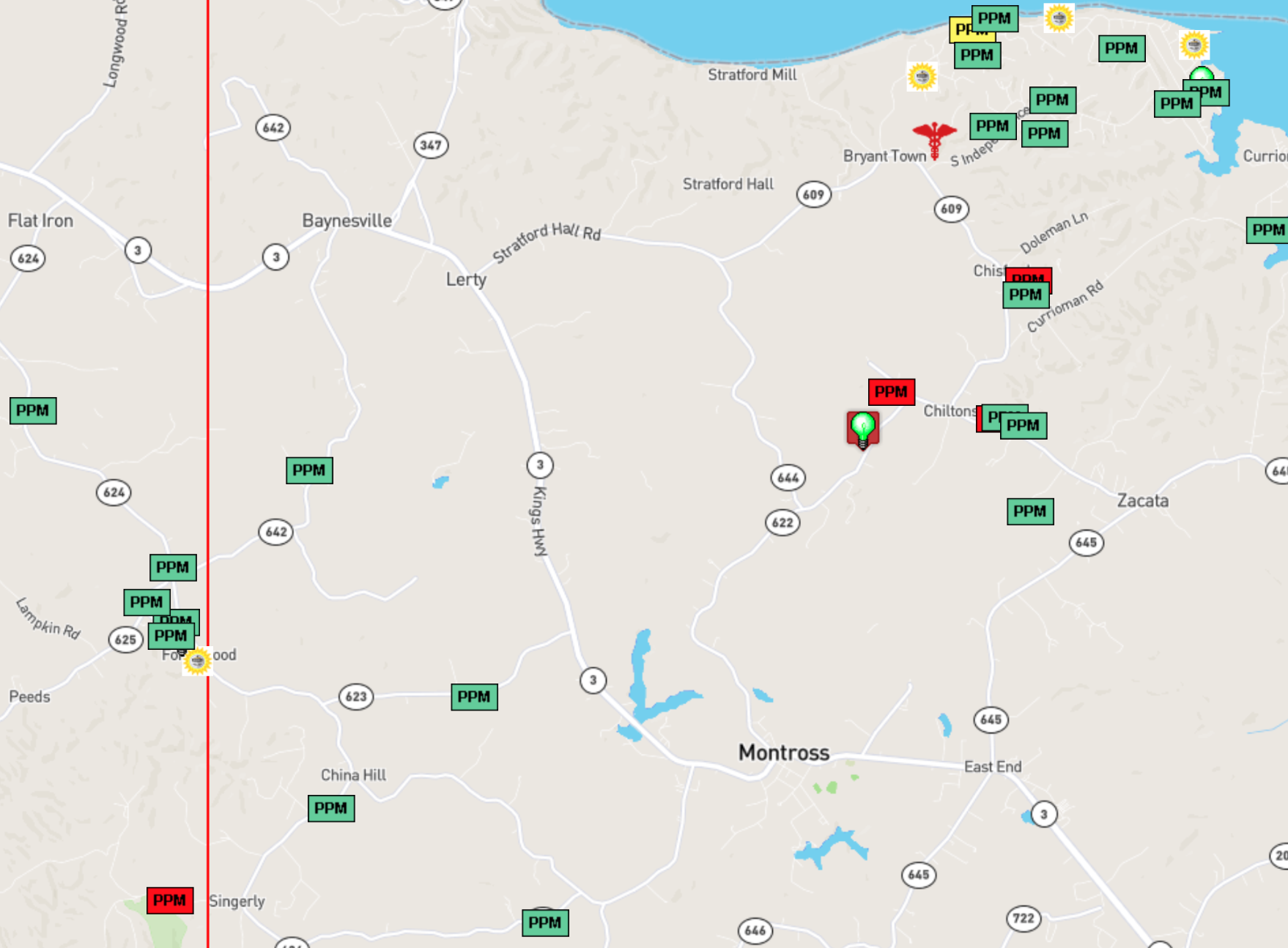
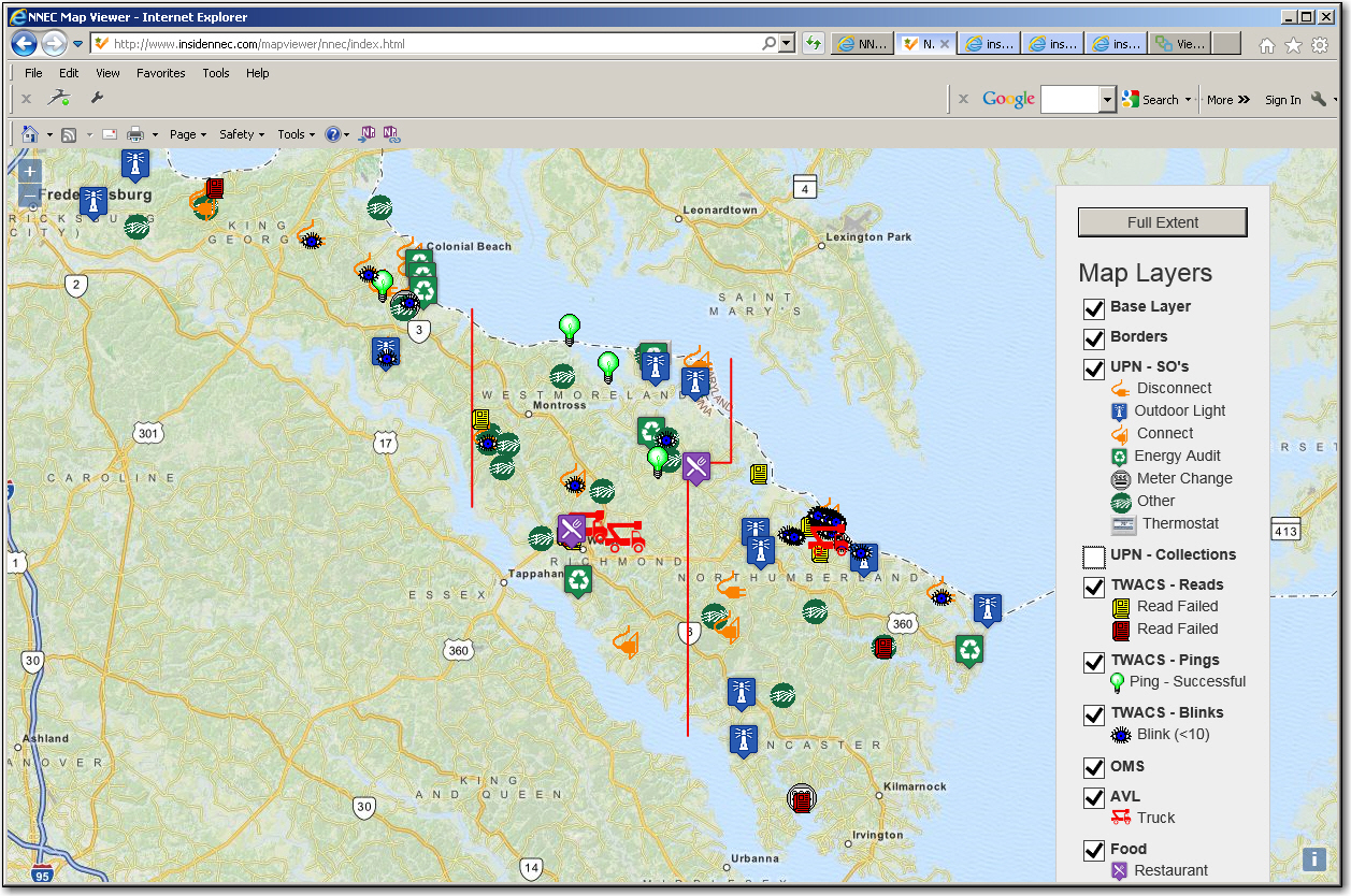
The display is interactive, in that any icon can be clicked, or touched, and a useful popup will appear. The map is currently set to refresh every 4 minutes. I may play around with this as more people start using it.
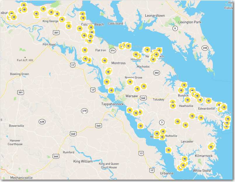
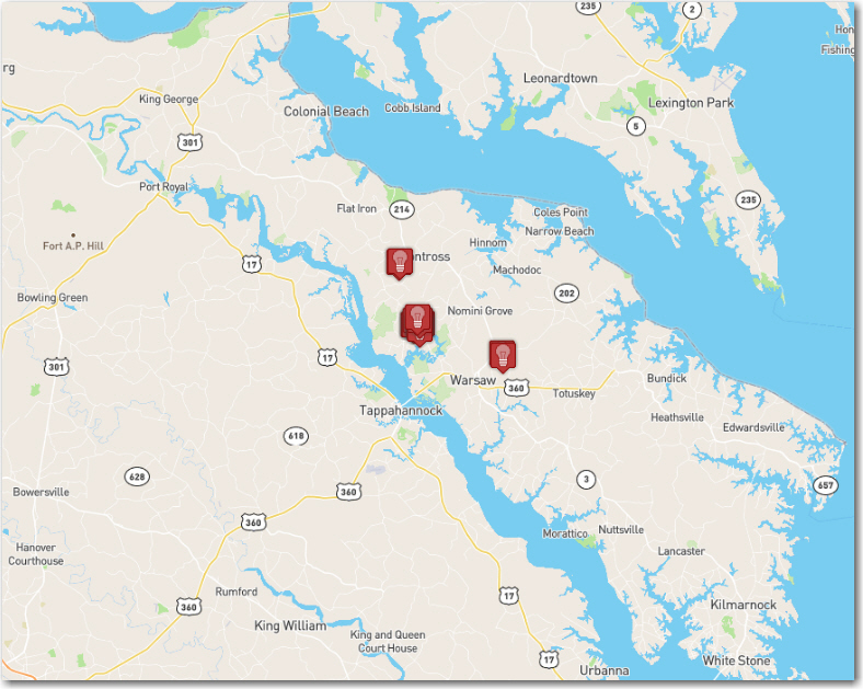
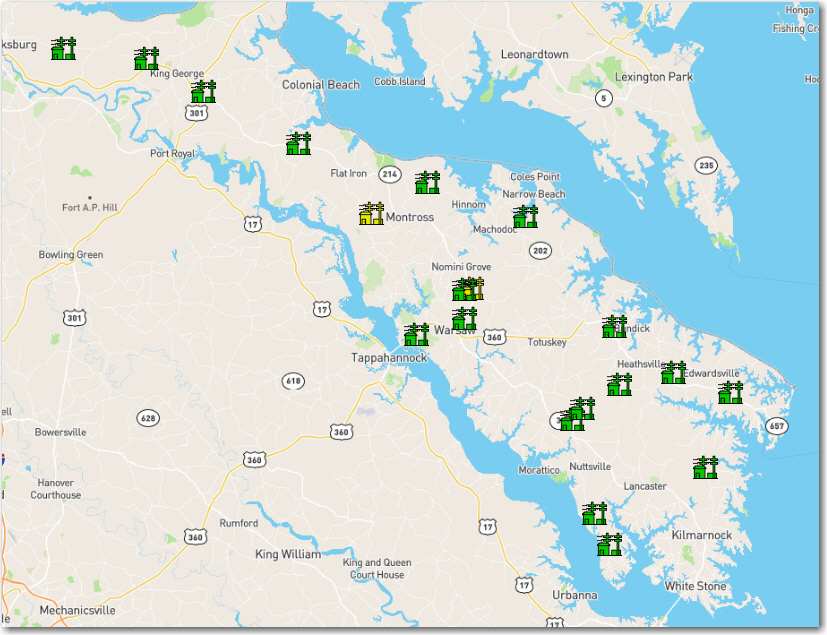
Here are some examples of the interactivity of the map.
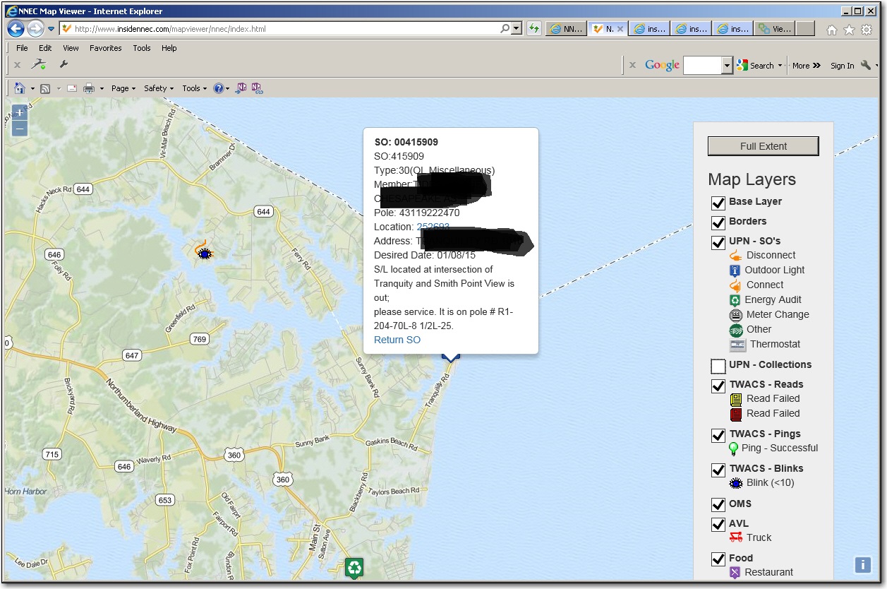
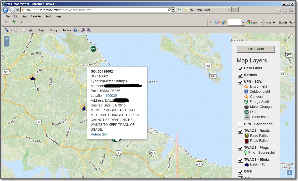
Service Orders - Data displayed in the Service Order pop up, varies depending upon the type of Service Order.
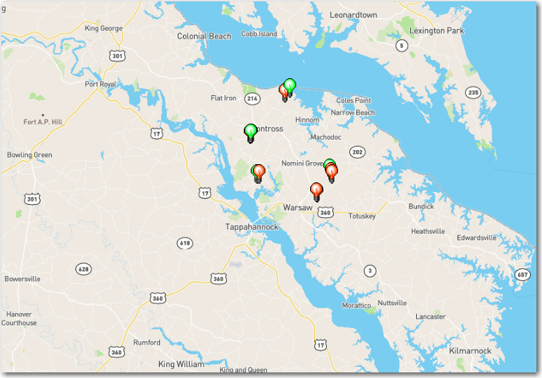
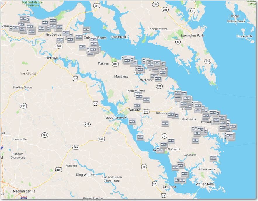
Click or touch a light icon:
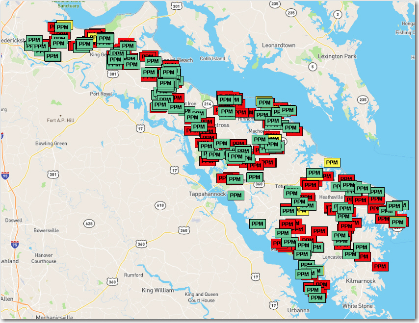
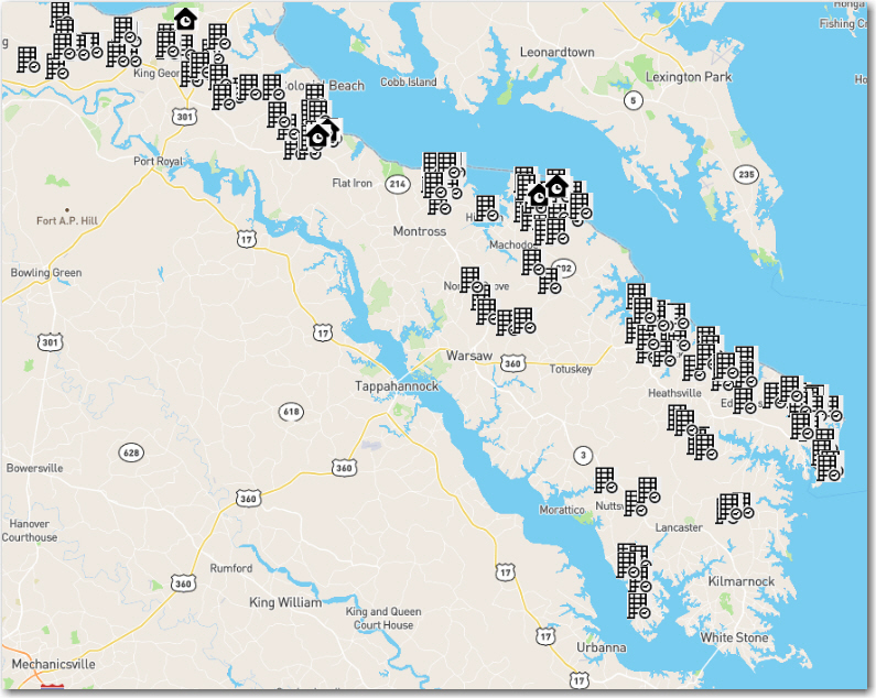
Click or touch a Recycle symbol icon:
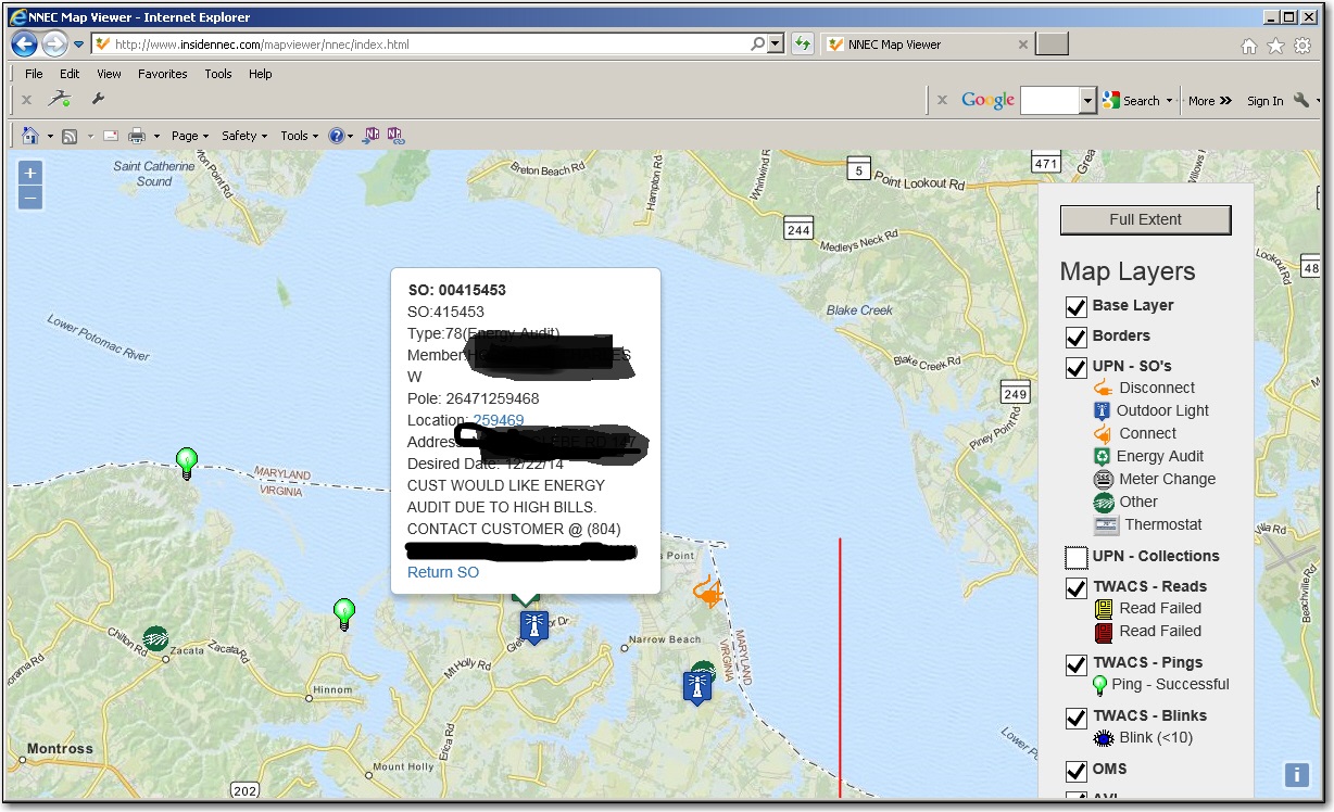
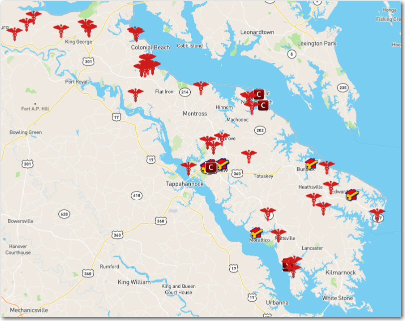
Click or touch a meter icon:
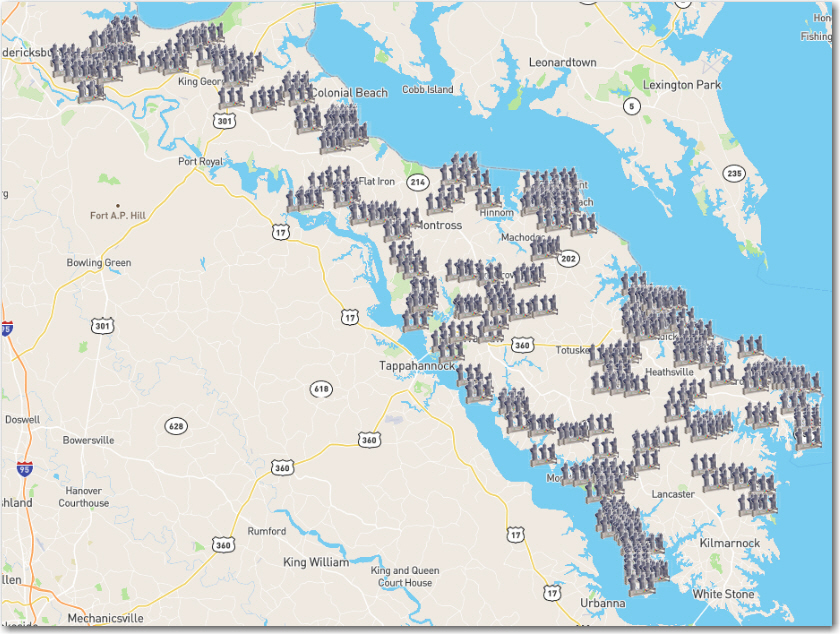
Reads - Click or touch a red or yellow book:
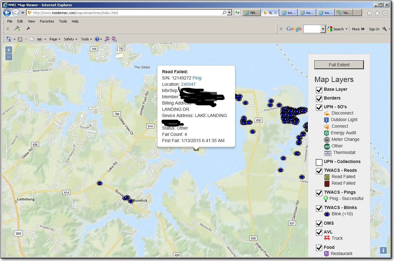
As you can tell, each icon is interactive, and can provide links to oter systems, such as looking up CIS, outage or AMR information using UPN-WEB, pinging/readingthe meter in TWACS, or sending information to a CSR so they can close a Service Order or Collection ticket. I added other stuff, such as restaurants, just to show thepossibilities if what we can ad to it.
If you have any comments or questions, please feel free to email me.